Strengthening El Niño compounds Indonesian wildfire and regional smoke risk
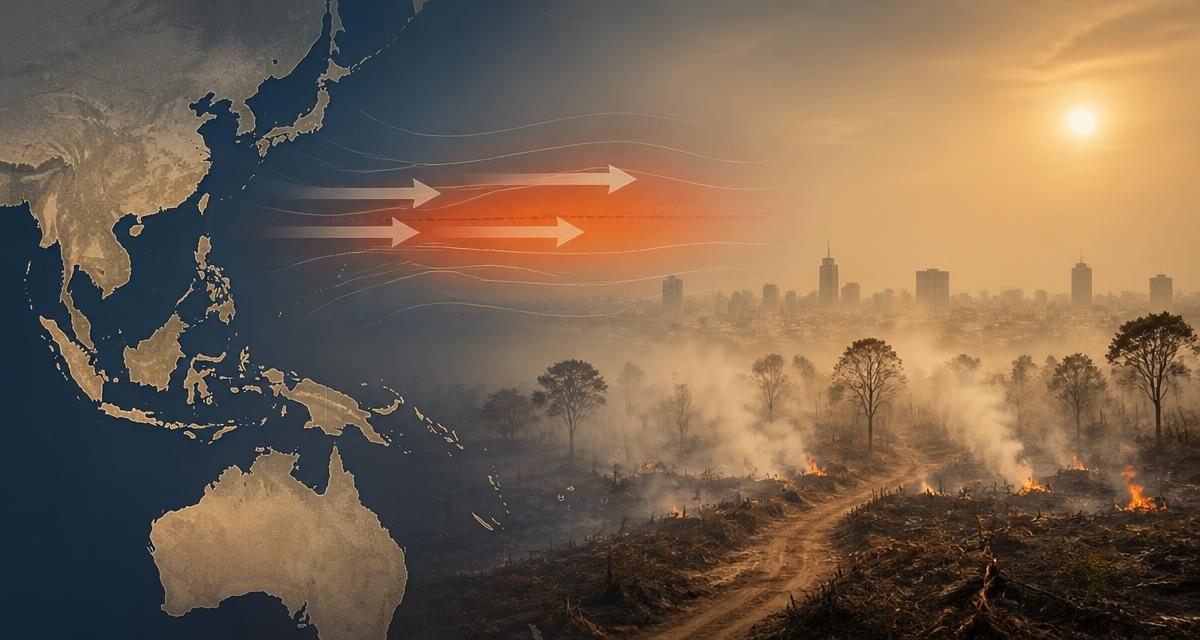
Climate reporting published August 21 highlighted that nearly 95,000 hectares burned across Indonesia in July—almost twice the area burned during the preceding six months—while a strengthening El Niño increased dry-season risks across Southeast Asia and Australia. The evidence supports elevated hazard but not deterministic attribution of individual fires to climate change.
What changed
The principal new signal was the sharp July increase in burned area and warnings that the developing El Niño could intensify fire conditions into the peak dry season.
Why it matters
Large Indonesian fires can produce cross-border haze, respiratory harm, aviation disruption, crop losses, carbon emissions and economic conflict among Southeast Asian neighbors.
What to watch next
Indonesian hotspot and burned-area data; peat-fire incidence; Singapore and Malaysia air-quality readings; rainfall anomalies; Australian seasonal fire outlooks; agricultural commodity prices.
What we know
- Reporting cited nearly 95,000 hectares burned in Indonesia during July.
- El Niño generally increases dry conditions and wildfire risk in parts of Indonesia and Australia.
- Regional authorities were warning of elevated seasonal fire danger.
Material unknowns
- The final independently audited burned-area total.
- How much burning resulted from land clearing, accidental ignition, peat conditions or other causes.
- The eventual strength and duration of El Niño and the geographic distribution of rainfall deficits.
- The proportion of the current hazard attributable to anthropogenic climate change.
U.S. strategic assessment
Moderate interestThe United States has humanitarian, health, climate, agricultural and Indo-Pacific diplomatic interests. U.S. strategy generally uses satellite monitoring, scientific cooperation, disaster assistance and climate diplomacy rather than direct operational control.
Objectives
- Reduce humanitarian and respiratory-health impacts.
- Support regional stability and disaster preparedness.
- Improve climate and fire monitoring.
- Limit commodity and supply-chain disruption.
Strategy
- Satellite and meteorological data sharing.
- Technical assistance and disaster-response support when requested.
- Regional climate and environmental diplomacy.
- Support for land-management and peat-restoration programs.
Outcomes
- Monitoring capacity is strong, but ignition control and land-use enforcement remain uneven.
- Regional smoke risk persists despite recurrent prevention initiatives.
Risks
- Transboundary haze disputes.
- Respiratory illness without timely exposure denominators.
- Food and commodity price effects.
- Fire emissions weakening climate targets.
Sources
01Climate synthesis distinguishing current evidence from forecast
Primary national source for fire and environmental response
Primary regional haze, hotspot and meteorological monitoring
Primary climate-monitoring and forecast source
Independent intergovernmental climate context